Unmanned Aircraft System Services
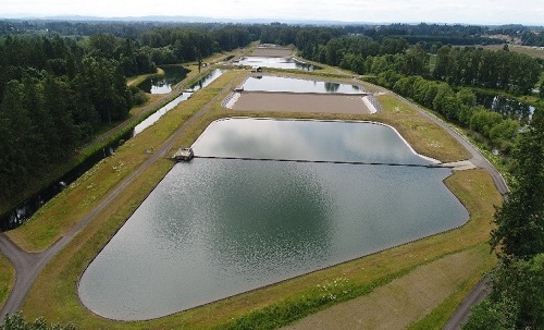
WEST’s UAS services provide clients with a wealth of important information at a fraction of the cost of conventional aerial imaging. Our high-resolution, aerial video and photographic surveys offer an easily-obtained, cost-effective, up-to-date perspective of field conditions to improve understanding of site conditions and better inform project stakeholders. Our UAS services help reduce project costs and risk for clients by facilitating data collection in hard-to-reach and dangerous-to-access locations. Our pilots are FAA Part 107 certified with experience in UAS-based data collection.
Our UAS products can be used for numerous applications, including:
- Site Reconnaissance & Documentation
- Structure Inspection
- Photogrammetry
- High-Resolution Photography & Videography
- Aerial Mapping
- Monitoring & Sampling

